In-person attendance is required for ship time. Ship-based training may also occur on a weekend, depending on vessel scheduling.
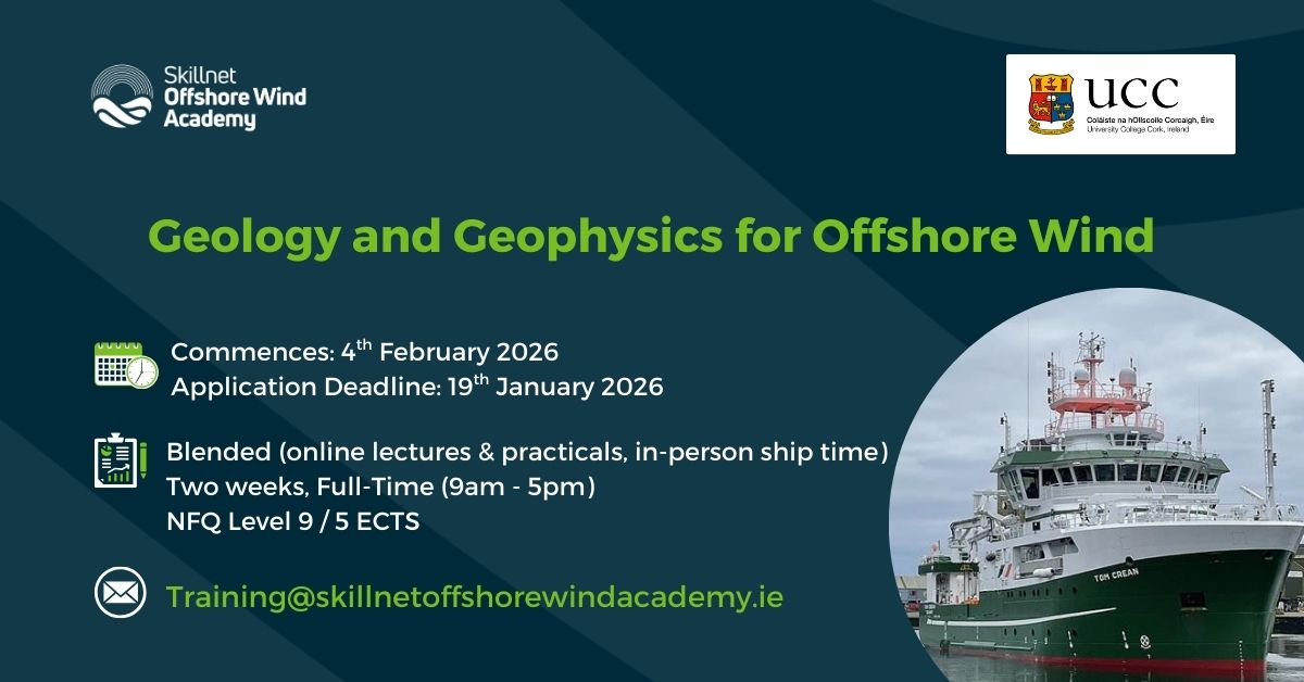
This two-week course covers essential topics in Geophysics and Geology for the Offshore Wind sector. It aims to equip learners with practical knowledge and hands-on skills for a career as an Offshore Wind Geophysicist. Participants should learn methodologies, tools and techniques for seabed assessment, geophysical data collection and geotechnical site investigations. The curriculum includes seabed mapping, ground discrimination and sediment transport, coring and aspects of the Irish regulatory framework with respect to the environmental impacts of geophysical surveying. The module is designed to include practical skills through laboratory practical and ship based training as well as theoretical understandings.
Course Content:
- Lecture 1: Introduction – the application of geology and geophysics to offshore wind energy development from site suitability to construction. Includes challenge-based interactive learning through short quizzes and tests.
- Lecture 2: Approaches to seabed mapping – side-scan sonars, multibeam echosounders, ground discrimination, sediment transport models. Includes challenge-based interactive learning through short quizzes and tests.
- Lecture 3: Approaches to seismic imaging – sub-bottom profilers, CHIRP, sparkers, booms, airguns, single channel and multichannel streamers, seismic processing. Includes challenge-based interactive learning through short quizzes and tests.
- Lecture 4: Approaches to magnetic and electromagnetic imaging – surveying approaches, pitfalls, processing, UXO and heritage sites. Includes challenge-based interactive learning through short quizzes and tests.
- Lecture 5: Approaches to gravity and electric surveys – Gravity surveys, interpretation of gravity anomalies, electric resistivity surveys, cable landfalls. Includes challenge-based interactive learning through short quizzes and tests.
- Lecture 6: Approaches to sub-seabed geotechnical appraisals – in situ CPT surveying, vibro- and piston coring, jack-up rigs, seismic correlations and interpretations, foundation designs. Includes challenge-based interactive learning through short quizzes and tests.
- Lecture 7: Environmental impacts of geophysical surveys and the Irish regulatory controls – noise propagation, sound sources, frequencies and bio impacts, passive acoustic monitoring, precautionary controls and MARA. Includes challenge-based interactive learning through short quizzes and tests.
Practical Application:
- Laboratory Practical (3 hours): Seismic interpretation – TWT/depth conversions, seismic reflector picking, acoustic facies characterisation, geological interpretations, uCPT correlations, foundation design.
- Ship-based practical training (2 days): Two days ship time on the RV Tom Crean will be availed of through the SMART programme. Participants will learn and gain experience in collecting the following datasets: multibeam echosounder, sub-bottom profiler, ROV video, sediment and biological sampling, and ADCP profiling. Throughout day 1, participants will become familiar with ship operations and data collection protocols. On day 2, students will compete the design the days survey, implement it themselves and interpret the data.
Learning Outcomes:
Understand geophysics and geology principles in Offshore Wind energy.
- Apply geophysical techniques to Offshore Wind projects.
- Interpret seismic, gravity, magnetic, electrical and electromagnetic data.
- Conduct and analyse geophysical field surveys Geophysical surveys will be conducted during the 2 days of ship-based training where data will be analysed for the report.
- Evaluate environmental impacts of geophysical investigations.
- Identify and mitigate geotechnical risks.
- Develop skills in designing and executing geophysical surveys.
- Assess geophysical data in the context of geological conditions and project requirements.
All lectures will be pre-recorded and delivered full online, while practical’s will also take place online with an online support tutorial, (in-person option also available and encouraged). In-person attendance is required for two days of ship-based training.
Students will be assessed on a continuous basis and late submissions will be penalised:
- Lecture based quizzes and test – 40 marks
- Practical report – 15 marks
- Ship-time survey report – 45 marks
Schedule:
Note that in-person attendance is preferred for lectures, but it is a requirement for the practical and ship-based training. There will be no option to join the practical or ship-based training on a remote or online basis.
Introductory talk: Wednesday 10th December 2025: 12.00-13.00
Lectures :
- Lecture 1 – Weds 4th Feb – 15.30-16.30 (pre-recorded lecture)
- Lecture 2 – Thurs 5th Feb – 10.30-11.30 (pre-recorded lecture)
- Lecture 3 – Thurs 12th Feb – 9.00 – 10.00 (pre-recorded lecture)
- Lecture 4 – Thurs 12th Feb – 10.30 – 11.30 (pre-recorded lecture)
- Lecture 5 – Fri 13th Feb – 09.30 – 10.30 (pre-recorded lecture)
- Lecture 6 – Fri 13th Feb – 11.00 – 12.00 (pre-recorded lecture)
- Lecture 7 – Fri 13th Feb – 12.00 -13.00 (pre-recorded lecture)
Practical: Thursday 12th February 2026: 14.00-17.00 – Online practical with online support tutorial (in-person option also available and encouraged).
Ship-based survey (2 days) available in the following slots:
- Sat 14th Feb – Sun 15th Feb
- Mon 16th – Tues 17th Feb
- Weds 18th Feb – Thurs 19th Feb
(It is possible that these dates may change based on vessel availability and scheduling)
Skillnet Course Fee: €6,000
Full Course Fee: €1,000
Eligibility for the subsidised Skillnet Course Fee is based on the following factors:
Trainees
Key requirements regarding the trainee:
- Trainees must be based in the Republic of Ireland to be eligible.
- Trainees must be employed within private enterprise/self-employed.
- This program is designed for professionals working in a related sector, seeking to upskill and transition into the offshore wind industry.
Companies
Key requirements regarding the eligibility of businesses to participate in funding:
- Companies must be from private enterprise based in the Republic of Ireland.
- Skillnet Ireland funding is not available to public sector bodies or organisations that are publicly funded such as community-based not-for-profit companies or charities.
- Commercial semi-state companies are eligible providing that income contributed to a Network is not sourced from the public purse.
- Sole traders are eligible as Companies.
If you are not eligible for funding, then the full course fee will apply. Where a trainee enrols on a course and pays the full fee, no refund will be provided if eligibility is determined later.
If you have further queries on funding, please contact training@skillnetoffshorewindacademy.ie including the module you wish to apply for.
-
- Professions with a predominantly third level education wishing to upskill outside these existing areas of expertise.
- Applications will also be considered from those with significant and relevant professional experience in the offshore wind, marine, or energy sectors, or from those who hold a postgraduate qualification in a related field.
- Professionals with a predominantly third level education wishing to upskill outside these existing areas of expertise.
- Companies seeking to develop and upskill their workforce to undertake projects related to offshore wind farm development.
- Professionals in or entering the offshore wind sector, particularly in site investigation, seabed mapping, and marine data analysis. It also benefits those in government, regulation, consultancy, and wider energy or infrastructure roles involving geophysical aspects of offshore projects, as well as researchers, engineers, and project managers seeking deeper insight into seabed conditions and their impact on project design and delivery.
Career Pathways:
This micro-credential opens pathways across the offshore wind industry with roles focused on site investigation, seabed mapping, and marine data analysis, or strengthen their expertise for positions in environmental consultancy, government, or regulatory bodies. The skills gained are highly transferable to the wider energy and infrastructure industries, supporting careers in project management, engineering, and research. By deepening knowledge of seabed and subsurface conditions, learners will be equipped to contribute to the successful planning, design, and delivery of offshore wind projects.
Progression:
This course provides a good introduction for further study in marine geoscience, offshore renewable energy, or environmental engineering. Current micro-credentials which may be of interest include:
To learn more about this micro-credential or to apply, visit GS6030: Geophysics and Geology for Offshore Wind | UCC.
